
|
| |||||||||||||||||||


|
Please note that JDLand is no longer being updated.
peek >>
Near Southeast DC Past News Items: Aug 31, 2017
- Full Neighborhood Development MapThere's a lot more than just the projects listed here. See the complete map of completed, underway, and proposed projects all across the neighborhood.
- What's New This YearA quick look at what's arrived or been announced since the end of the 2018 baseball season.
- Food Options, Now and Coming SoonThere's now plenty of food options in the neighborhood. Click to see what's here, and what's coming.
![-]()
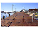
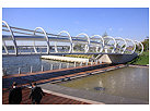
- Anacostia RiverwalkA bridge between Teague and Yards Parks is part of the planned 20-mile Anacostia Riverwalk multi-use trail along the east and west banks of the Anacostia River.
![-]()
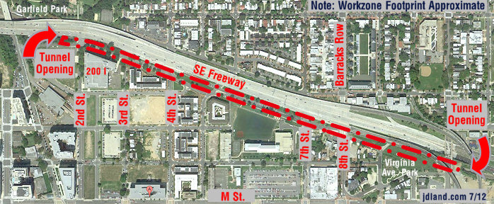
- Virginia Ave. Tunnel ExpansionConstruction underway in 2015 to expand the 106-year-old tunnel to allow for a second track and double-height cars. Expected completion 2018.
![-]()
- Rail and Bus Times
Get real time data for the Navy Yard subway, Circulator, Bikeshare, and bus lines, plus additional transit information. - Rail and Bus Times
Get real time data for the Navy Yard subway, Circulator, Bikeshare, and bus lines, plus additional transit information. - Canal ParkThree-block park on the site of the old Washington Canal. Construction begun in spring 2011, opened Nov. 16, 2012.
![-]()
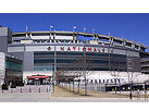
- Nationals Park21-acre site, 41,000-seat ballpark, construction begun May 2006, Opening Day March 30, 2008.
![-]()
- Washington Navy YardHeadquarters of the Naval District Washington, established in 1799.
![-]()
- Yards Park5.5-acre park on the banks of the Anacostia. First phase completed September 2010.
![-]()
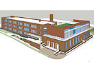
- Van Ness Elementary SchoolDC Public School, closed in 2006, but reopening in stages beginning in 2015.
![-]()
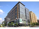
- Agora/Whole Foods336-unit apartment building at 800 New Jersey Ave., SE. Construction begun June 2014, move-ins underway early 2018. Whole Foods expected to open in late 2018.
![-]()
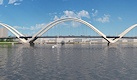
- New Douglass BridgeConstruction underway in early 2018 on the replacement for the current South Capitol Street Bridge. Completion expected in 2021.
![-]()
- 1221 Van290-unit residential building with 26,000 sf retail. Underway late 2015, completed early 2018.
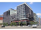
- NAB HQ/AvidianNew headquarters for National Association of Broadcasters, along with a 163-unit condo building. Construction underway early 2017.
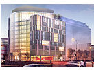
- Yards/Parcel O Residential ProjectsThe Bower, a 138-unit condo building by PN Hoffman, and The Guild, a 190-unit rental building by Forest City on the southeast corner of 4th and Tingey. Underway fall 2016, delivery 2018.
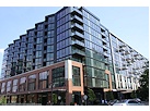
- New DC Water HQA wrap-around six-story addition to the existing O Street Pumping Station. Construction underway in 2016, with completion in 2018.
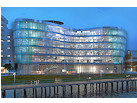
- The Harlow/Square 769N AptsMixed-income rental building with 176 units, including 36 public housing units. Underway early 2017, delivery 2019.
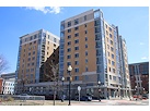
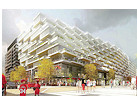
- West Half Residential420-unit project with 65,000 sf retail. Construction underway spring 2017.
![-]()
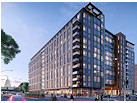
- Novel South Capitol/2 I St.530ish-unit apartment building in two phases, on old McDonald's site. Construction underway early 2017, completed summer 2019.
![Novel South Capitol]()
- 1250 Half/Envy310 rental units at 1250, 123 condos at Envy, 60,000 square feet of retail. Underway spring 2017.
![-]()
- Parc Riverside Phase II314ish-unit residential building at 1010 Half St., SE, by Toll Bros. Construction underway summer 2017.
![-]()
- 99 M StreetA 224,000-square-foot office building by Skanska for the corner of 1st and M. Underway fall 2015, substantially complete summer 2018. Circa and an unnamed sibling restaurant announced tenants.
![-]()
- The Garrett375-unit rental building at 2nd and I with 13,000 sq ft retail. Construction underway late fall 2017.
![-]()
- Yards/The Estate Apts. and Thompson Hotel270-unit rental building and 227-room Thompson Hotel, with 20,000 sq ft retail total. Construction underway fall 2017.
![-]()
- Meridian on First275-unit residential building, by Paradigm. Construction underway early 2018.
![-]()
- The Maren/71 Potomac264-unit residential building with 12,500 sq ft retail, underway spring 2018. Phase 2 of RiverFront on the Anacostia development.
![-]()
- DC Crossing/Square 696Block bought in 2016 by Tishman Speyer, with plans for 800 apartment units and 44,000 square feet of retail in two phases. Digging underway April 2018.
![DC Crossing]()
- One Hill South Phase 2300ish-unit unnamed sibling building at South Capitol and I. Work underway summer 2018.
![One Hill South Phase 2]()
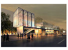
- New DDOT HQ/250 MNew headquarters for the District Department of Transportation. Underway early 2019.
![New DDOT HQ]()
- 37 L Street Condos11-story, 74-unit condo building west of Half St. Underway early 2019.
![37 L Condos]()
- CSX East Residential/Hotel225ish-unit AC Marriott and two residential buildings planned. Digging underway late summer 2019.
![CSX East Residential/Hotel]()
- 1000 South Capitol Residential224-unit apartment building by Lerner. Underway fall 2019.
![1000 South Capitol Residential]()
- Capper Seniors 2.0Reconstruction of the 160-unit building for low-income seniors that was destroyed by fire in 2018.
![1000 South Capitol Residential]()
- Chemonics HQNew 285,000-sq-ft office building with 14,000 sq ft of retail. Expected delivery 2021.
![1000 South Capitol Residential]()

1 Blog Posts
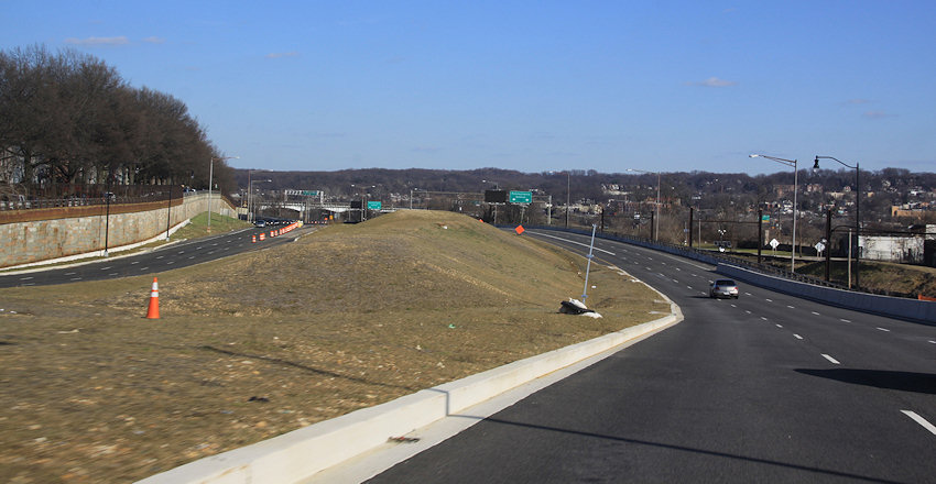 After a four-year hiatus to complete some additional studies, the Environmental Assessment to improve the desolate stretch of road between 11th Street SE and Barney Circle known as Southeast Blvd. is now back underway, with a public meeting scheduled for Saturday, Sept. 16, at Chamberlain Elementary School at 1345 Potomac Ave., SE, with an open house beginning at 10 am and presentations starting at 10:30.
 Officially, this EA "will evaluate conversion of the existing facility into an urban boulevard consistent with the expected multimodal travel demand and the character of the adjacent neighborhood." On the spiffy new web site for the EA, project elements listed include:
* Reconfiguring Southeast Blvd. upwards to match the elevation of L Street SE;
* Adding sidewalks, bicycle facilities, trees, parking, and "green infrastructure";
* Taking the "surplus transportation right-of-way" and converting it to other uses, such as parks;
* Extending 13th, 14th, and 15th Streets SE so that they connect to Southeast Blvd.;
* Adding pedestrian and bicycle links to the Anacostia waterfront (which includes getting across the train tracks that run along the boulevard's southern side);
* Reconfiguring Barney Circle; and
* Building an "under-deck bus transit support facility with bus access via 11th Street SE and/or Barney Circle." (I bet they say this one really quickly and quietly.)
I cannot bear to rehash many years' worth of meetings and designs here, but I would point interested readers to my post from early 2016 about the DDOT Southeast Blvd. Feasibility Study. If I may plagiarize myself: "And what does the feasibility study say? DDOT's report determines that changing the current Southeast Blvd. from the limited-access quick route between 11th Street SE and Barney Circle to a street with connections to its north and south and development along the footprint is feasible, but the transformation 'would be neither inexpensive nor quick'."
I also wrote about the Office of Planning's Southeast Blvd. Planning Study, which had as its purpose "not to identify a single 'preferred alternative,' but rather to develop concepts that respond to the planning goals and objectives for the District and the community, which could be advanced through further study." Those concepts looked like this:
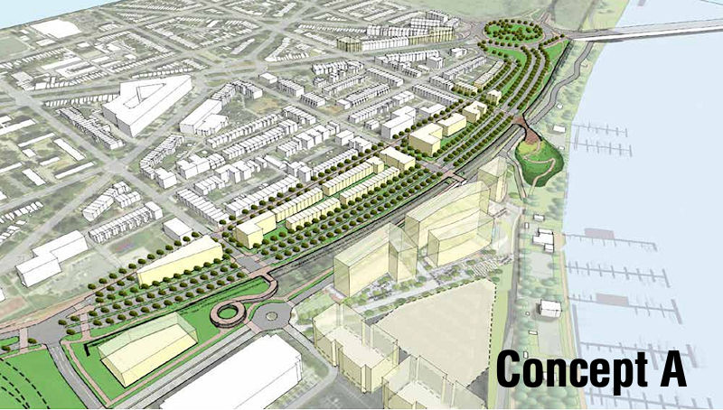
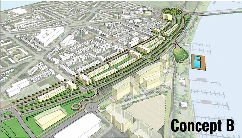
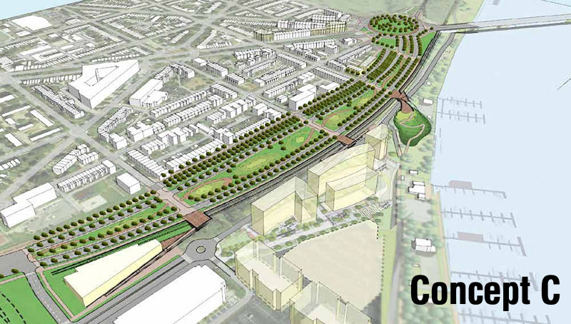
And so now we continue onto the Environmental Assessment. See my SE Blvd page for more history (including the demolition of the old freeway and DDOT's quickie reinstallation of a new road), or just scroll down through my previous posts on it, if you dare.
|
Comments (50)
More posts:
Southeast Blvd., Traffic Issues
|

