Proposed:

|
|
|
Existing:
Proposed:
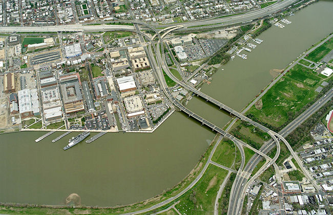
Images courtesy DDOT.
Return to: 11th Street Bridges | Near Southeast DC Home Page
© Copyright 2026 JD.
All photos taken by JD - Online reproduction allowed for noncommercial uses only, as long as links to this site are included.