JDLand Near Southeast Photo Archive
May 1, 2010
As developments move along, I post updated photos every few weeks; use this map to see older photos that have aged off the project pages and see a timeline of a development's progression (or lack thereof). (voluminous list of hints and caveats)
If you want to see the best of the best, check out JD's Favorite Before-and-Afters.
Use Street Map to Browse Photos | Show All Photos Of This Angle

*
3rd at Virginia, Looking East
May 19, 2006
*
3rd at Virginia, Looking East-Southeast
July 2005


*
3rd at Virginia, Looking Southeast
May 19, 2006
*
3rd at Virginia, Looking South-Southeast
May 19, 2006


3rd at Virginia, Looking South
May 19, 2006
*
3rd at I, Looking North
Dec 27, 2005


*
3rd at I, Looking North-Northeast
December 2005
*
3rd at I, Looking Northeast
Apr 2, 2006


3rd at I, Looking East-Northeast
Jun 16, 2006
*
3rd at I, Looking East
Nov 17, 2004


3rd at placei, Looking North
Oct 25, 2009
3rd at placei, Looking North
May 1, 2010 See All Photos of This Angle


3rd at placei, Looking Northeast
May 1, 2010 See All Photos of This Angle
3rd at placei, Looking East
May 1, 2010


*
3rd at placei, Looking East-Southeast
Nov 9, 2004
3rd at placei, Looking Southeast
May 1, 2010


3rd at placei, Looking South-Southeast
May 1, 2010
3rd at placei, Looking South
Aug 12, 2006


3rd at placei, Looking South-Southwest
May 1, 2010
3rd at placei, Looking Southwest
May 1, 2010


3rd at placei, Looking West
Jan 22, 2006
*
3rd at placei, Looking West-Northwest
Apr 23, 2004


3rd at placei, Looking Northwest
May 1, 2010 See All Photos of This Angle

Return to Street Map


Hints and Caveats:

  • If the most recent photo of a location is more than a few months old, don't panic--the view hasn't changed any.
  • Compass directions are based on the axis of the road itself--directions on diagonal roads (New Jersey, Virginia, and Potomac) will follow the general direction of the street (i.e., New Jersey runs in a generally north-south direction, so "North" is facing toward north-ish, even if it isn't exactly due north).
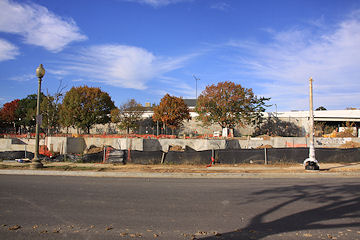
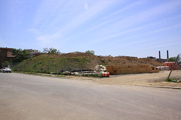
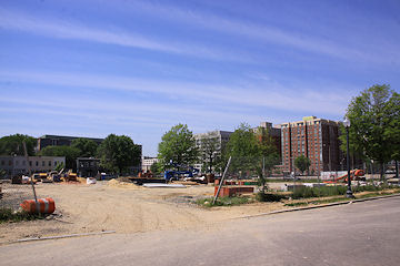
  • If you're wanting to see photos of a large building under construction, try moving away one block for a wider view.
  • The clickable map and compass has been tested with IE 6+ and Firefox 2.0 -- it may very well behave strangely in older browsers. (If you're using anything older than these, it really is time to upgrade.)
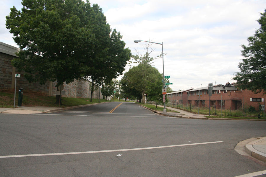
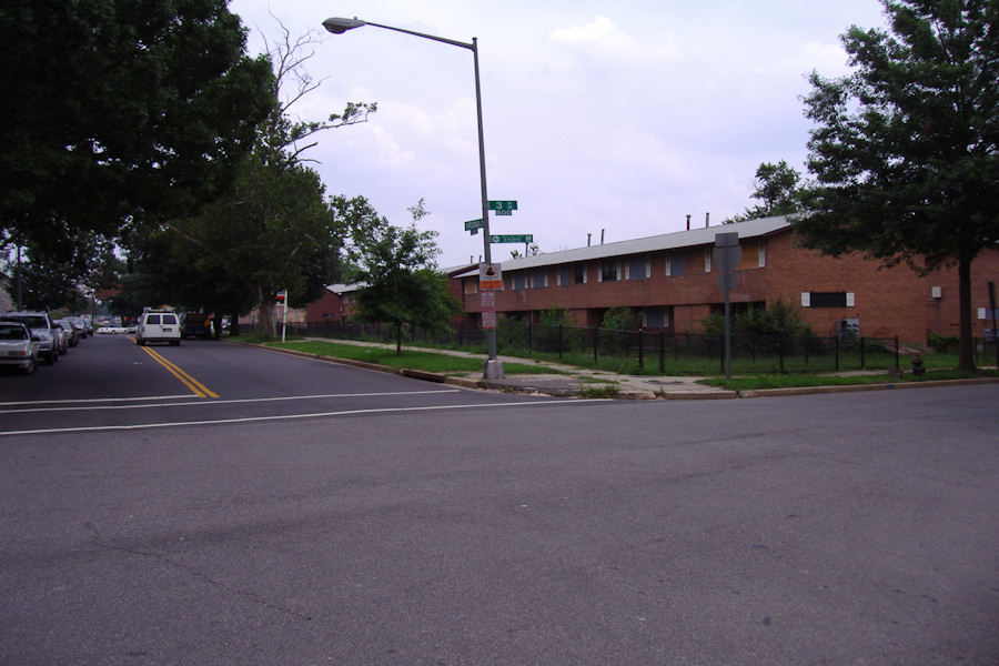
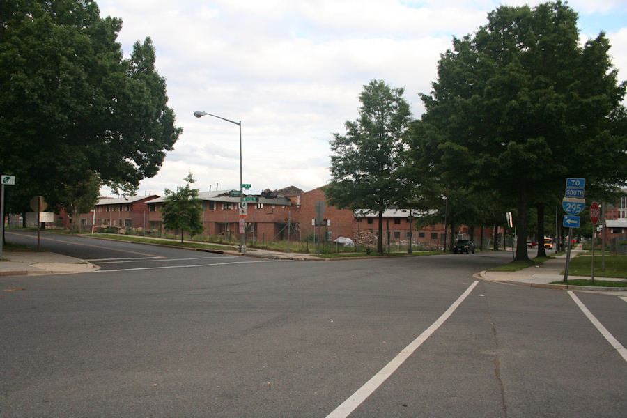
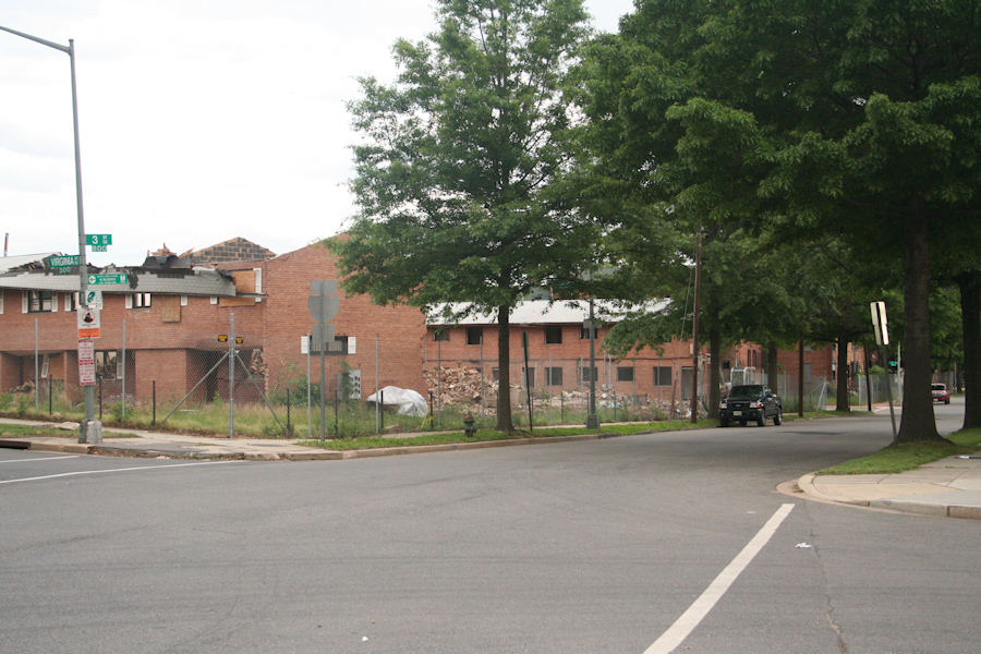
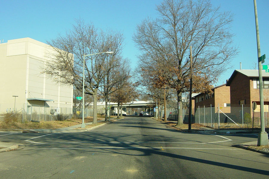
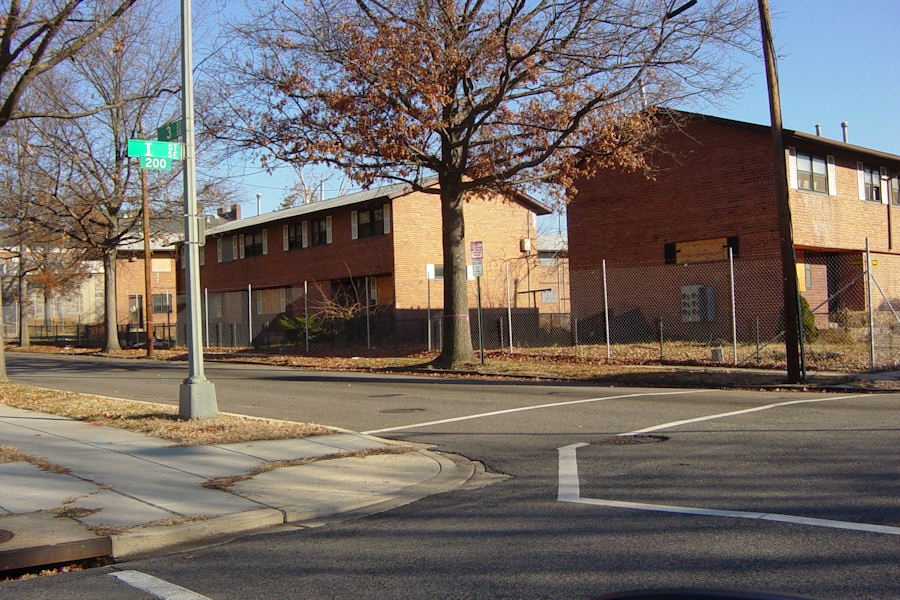
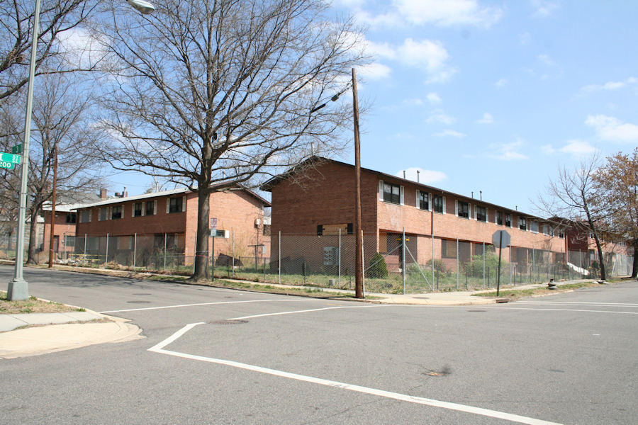
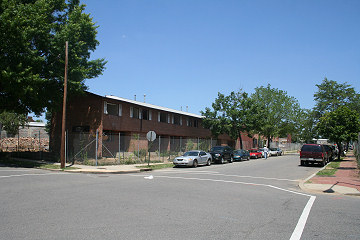
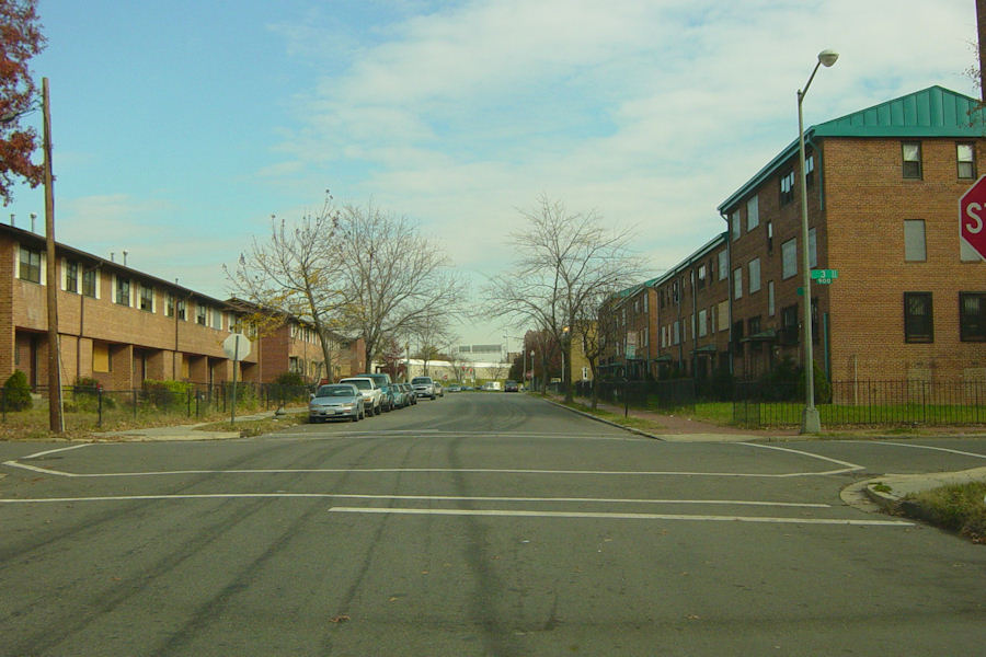
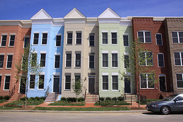
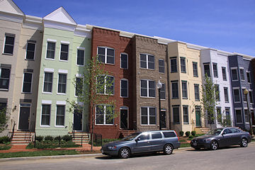
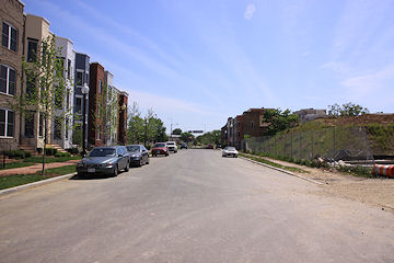
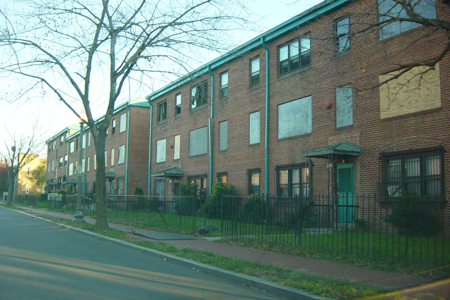
  • This is not anywhere close to a complete archive of my Near Southeast photos (20,000 and counting); these are just ones that have at some point been posted on the web site. Some intersections and some corners are far better represented than others, depending on what's transpiring.
  • Some photos may be repeated.
  • Sometimes the layout won't be fabulously perfect.
  • If you want to use or purchase one of my photos, go here for more information.

  • Near Southeast DC Home Page
    Top of Page | RSS Feed | Contact JD
    Advertise on JDLand.com

    © Copyright 2024 JD.
    All photos © Copyright JD unless otherwise marked - See information on photo uses, licensing and purchasing.

      
    More JDLand.com/Near SE DC:
    JDLand Home Page
    Contact JD | About
    Advertise on JDLand
    E-Mail Updates
    Near SE Development Map
    Live Transit Info
    Upcoming Events
    Knight-Batten Award
    Photo and Blog Archives
    Browse/Search Photos
    Photo Galleries
    Demolished Buildings
    Photos from Rooftops
    JD's Favorite Photos
    Blog Archive, '03 - Present
    Tag Cloud
    Underway
      
    Nationals Park
    Food Options Map
    Parking Lots Map
    Other Transportation Info
    In the Pipeline
     
    Completed
    Lumber Shed ('13)
    Boilermaker Shops ('13)
    Canal Park ('12)
    Capitol Quarter ('12)
    225 Virginia/200 I ('12)
    Foundry Lofts ('12)
    1015 Half Street ('10)
    Yards Park ('10)
    Velocity Condos ('09)
    Teague Park ('09)
    909 NJ Ave. ('09)
    55 M ('09)
    100 M ('08)
    Onyx ('08)
    70/100 I ('08)
    Nationals Park ('08)
    Seniors Bldg Dem. ('07)
    400 M ('07)
    SoCap Bridge Fix ('07)
    US DOT HQ ('07)
    20 M ('07)
    Capper Seniors 1 ('06)
    Capitol Hill Tower ('06)
    Courtyard/Marriott ('06)
    Rearview Mirror
    Rearview Blog Posts
    Demolished Buildings
    Historic Photos & Maps
    Past Events Timeline
    On the Hill, '59-'69
    From Above, '49-'08
    Gas Prices Gallery
    Posts on Food/Fun
    Retail News
    Restaurants/Nightlife
    Overviews
    Capper/Carrollsburg
    Anacostia Riverwalk
    New Jersey Ave.
    M Street
    South Capitol St.
    North of M
    The Yards
    Lower 8th Street
    East M Street
    Boathouse Row
    Guides/Maps
    Project Directory
    Stadium Corridor
    M Street
    New Jersey Ave.
    Near Southeast Datasets
    Recent Data
    Crime Incidents
    Public Space Permits
    Building Permits